Industrial Park

VB Quang Yen Industrial Park
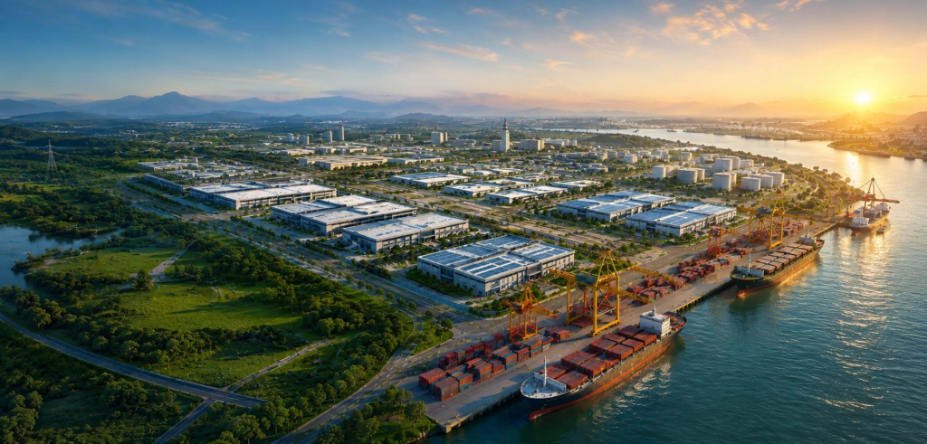
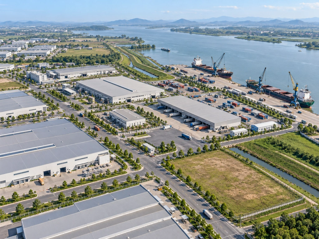
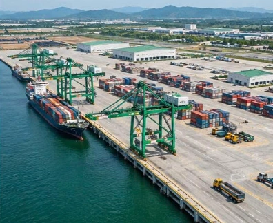
Planned around eight functional land-use groups, VB Quang Yen Industrial Park is designed as an integrated ecosystem for efficient operations and sustainable growth.

407.71 ha
Total park area

86.43 ha
Port and logistics land

165.14 MVA
Planned power supply capacity

15,000 m³/day
Planned wastewater treatment capacity
Strategic Location
At the Nexus of Northern Vietnam's Logistics Corridor
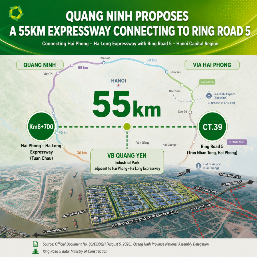
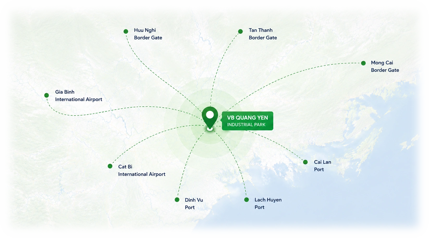
VB Quang Yen Industrial Park sits within the Quang Yen Coastal Economic Zone — a government-priority investment area with unmatched multimodal access to seaports, airports, expressways and international border crossings.

Lach Huyen Port
15 km

Huu Nghi Border Gate
122 km
Dinh Vu Port
7 km
Mong Cai Border Gate
140 km

Cat Bi International Airport
7 km
Gia Binh Airport
112 km


INFRASTRUCTURE
Integrated technical infrastructure for large-scale manufacturing
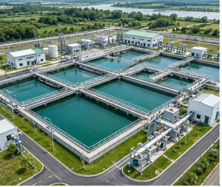
Power supply — 110/22 kV substation, 3 × 63 MVA
Sized for a demand of about 165.14 MVA (500 kW per hectare), with a 110 kV source planned along DT.338 and 22 kV supply to each secondary investor.
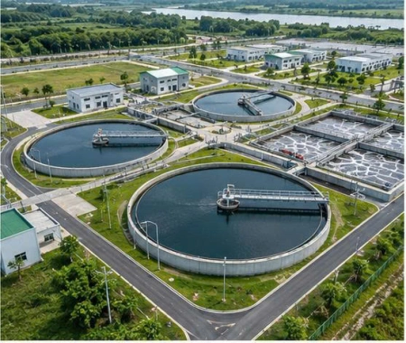
Water supply — 24,000 m³/day
A looped network (D250–D400) is planned for production, domestic use and firefighting.
Wastewater treatment — 15,000 m³/day
Centralized treatment designed to meet QCVN 40 Column A, with automatic monitoring. Secondary investors pre-treat to connection requirements.
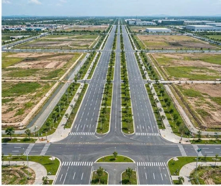
Internal roads — 31.5–50 m right-of-way
A grid network with a 50 m main axis planned to connect to DT.338. Maximum building density of 70%; floor area ratio of 3.5.
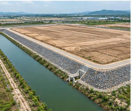
Site grading and flood risk reduction
Dike D1 is designed at +4.50 m, above the historical peak tide of +3.3 m. Stormwater is designed for a 10-year return period and discharges into the Bach Dang River.
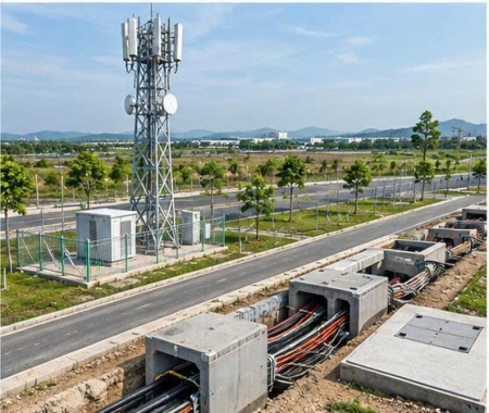
Telecommunications — underground cabling, at least two carriers
Passive telecom infrastructure is planned underground along the roads, with 4G/5G coverage in view.